Fuzzy rank prss
DOC_TYPE: TRAVEL_ENGINEERING // VER 2026.04

Slow, telemetry-guided immersion across European geographies.

Deconstruct high-velocity consumer tourism. We publish technical dossiers, elevation profiles, regional rail connection matrices, and long-residency frameworks for discerning independent travelers seeking depth over speed.

42 Villages Indexed
1,840 km Surveyed Footpaths
0.0 kg Single-Use Flight CO2
transit_feed_europe.visual
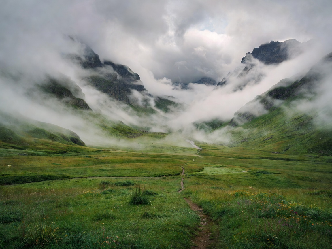
Scenic green alpine valley with misty clouds representing technical slow travel
COORDINATES: 46.4258° N, 12.2137° E
PARADIGM 01 // PRINCIPLES

The Four Mechanical Pillars of Slow Traversal

A disciplined countermeasure to compressed weekend itineraries and surface-level sight exhaustion.

01

Micro-Regional Anchoring

Select an anchor perimeter within a 45-kilometer radius. Eliminate domestic flights and car hires by leveraging regional feeder rail, postal buses, and continuous walking.

02

Dialect & Local Economies

Direct capital flow to family-operated agricultural holdings, communal bakeries, and heritage cooperations rather than multinational booking conglomerates.

03

Topographical Literacy

Understand geology, watershed boundaries, and trail markings. Slow travel treats the landscape as a legible text rather than an aesthetic backdrop.

04

Chronological Slack

Intentionally inject unscheduled 72-hour intervals. The richness of an encounter correlates directly with uncommitted time windows.

DATABASE // REGIONAL DOSSIERS

Verified Field Dispatches & Route Specifications

Thoroughly documented travel blueprints tested for logistical autonomy, low-impact transit, and cultural immersion.

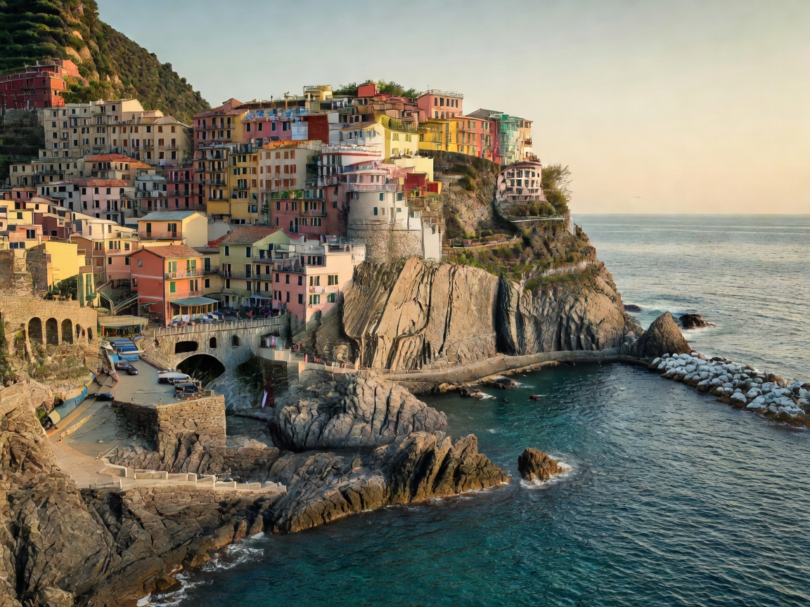
Cinque Terre coastal cliffs and stone houses overlooking the Ligurian sea
DOSSIER #042
LIGURIA / TUSCANY MIN_DURATION: 14 DAYS TRANSIT: FS REGIONALE

The Upper Lunigiana & Apennine Ridgeline Traverse

Bypass the crowded Ligurian shoreline to trace the ancient Via Francigena mountain variants through chestnut forests, fortified stone hamlets, and medieval thermal waters.

Avg Elevation850m
Daily Foot Traffic< 15 hikers
Cost Ratio€48/day
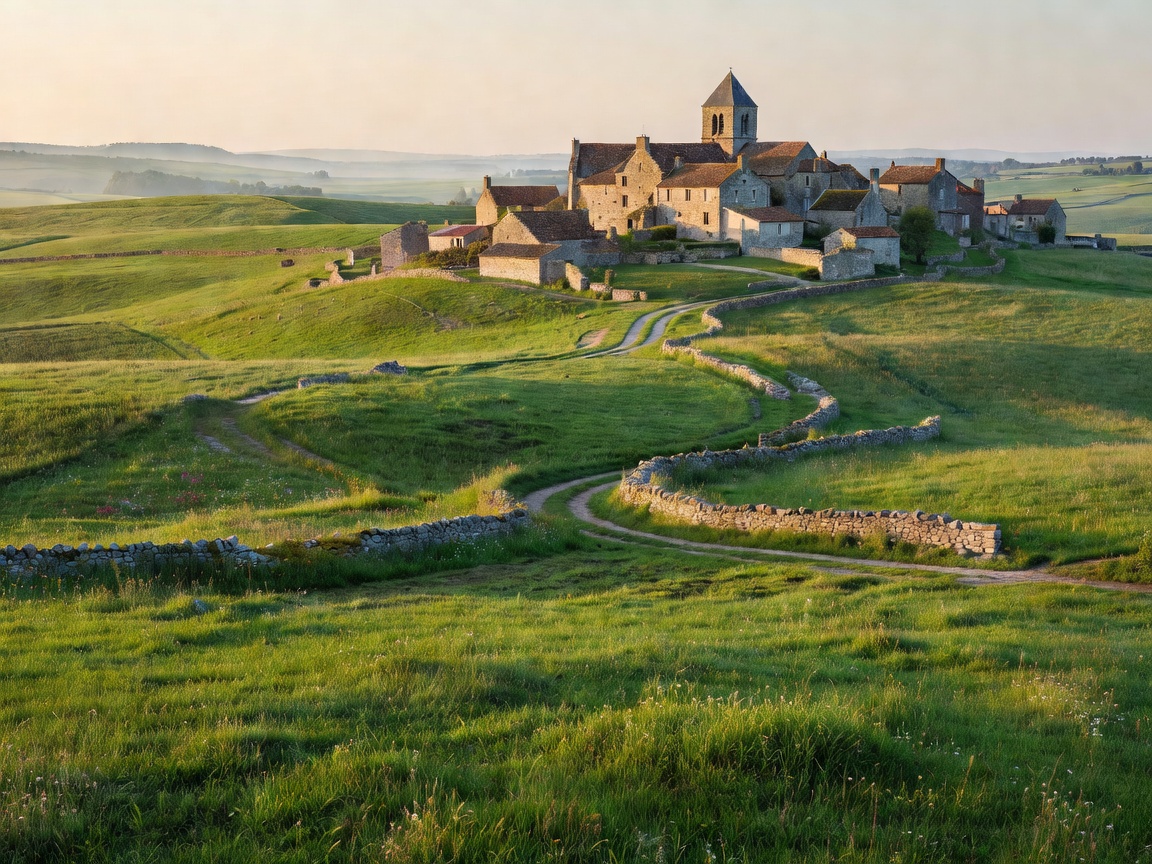
French rural landscape with rolling green fields and distant medieval stone village
DOSSIER #089
OCCITANIE / CAUSSES MIN_DURATION: 21 DAYS TRANSIT: TER OCCITANIE

Limestone Plateaus and Deep Valleys of the Aveyron

A thorough exploration of the limestone causses of southern France, utilizing ancient pastoral drover paths (drailles) and community-owned gîtes d'étape.

Avg Elevation620m
Daily Foot Traffic< 8 hikers
Cost Ratio€54/day
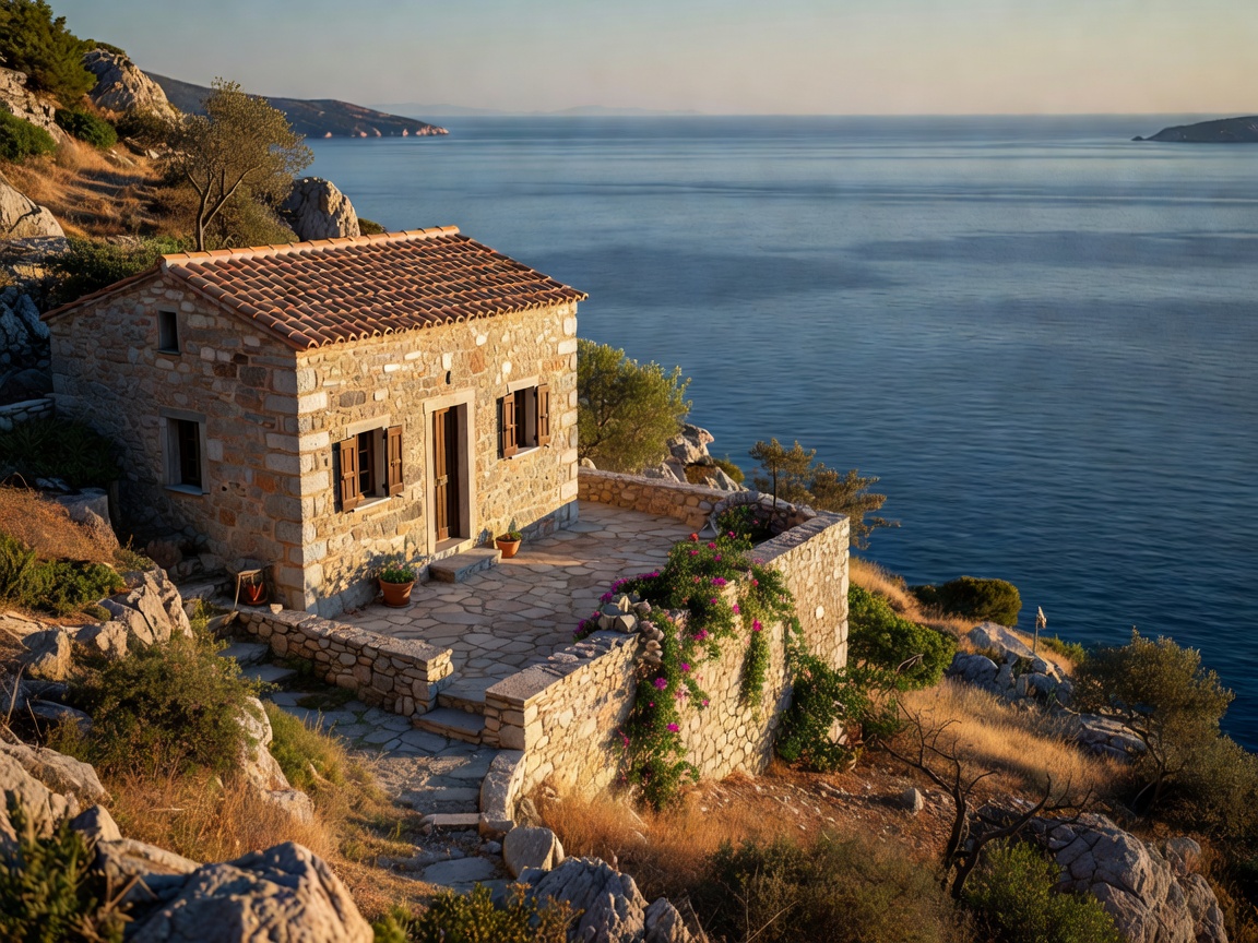
Serene Greek stone house on a hillside overlooking the Aegean sea
DOSSIER #104
PELOPONNESE / MANI MIN_DURATION: 18 DAYS TRANSIT: KTEL BUS & FOOT

Outer Mani Tower Settlements & Olive Grove Networks

Trek the dry-stone paths connecting defensive tower houses across the Mani peninsula. Experience local olive press operations and secluded coves inaccessible by road vehicle.

Avg Elevation340m
Daily Foot Traffic< 4 hikers
Cost Ratio€42/day
SYSTEM SCHEMATICS // TELEMETRY

Speed Comparison: Fast vs. Slow Methodologies

Direct empirical comparison across environmental overhead, cultural retention, and financial sustainability.

Vector Dimension Standard Compressed Tourism Fuzzy rank prss Slow Protocol Impact Variance
Transit Velocity 750 km/day (Aviation/Motorways) 35 km/day (Walking/Local Rail) -95.3% Speed
Carbon Equivalent 142.5 kg CO2e / day 4.8 kg CO2e / day -96.6% Footprint
Local Capital Retention 18.4% retained in municipality 84.7% retained directly +360% Economy
Memory Retention Index 24% recall at 12 months 89% sensory/spatial recall +270% Retention