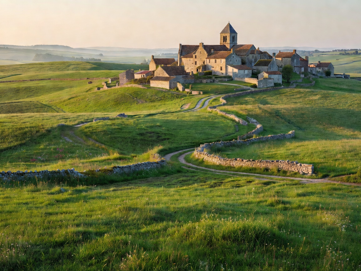
ROUTE CODE: FR-AV62
Aveyron Limestone Causses & Drailles Traverse
Follow ancient pastoral drover tracks (drailles) across limestone plateaus, fortified bastide hamlets, and the deep gorges of the Tarn and Lot rivers.
Total Ascent+4,200m
Recommended Days10 — 14
Resupply IntervalMax 18 km

ROUTE CODE: IT-LUN04
Upper Lunigiana: Cisa Pass & Apennine Ridgeline Traverse
Traverse the high Apennine watershed from the Cisa Pass through Pontremoli, Filattiera chestnut groves, and thermal limestone canyons to the high ridges of Campocecina.
Total Ascent+5,100m
Recommended Days8 — 12
Resupply IntervalMax 15 km
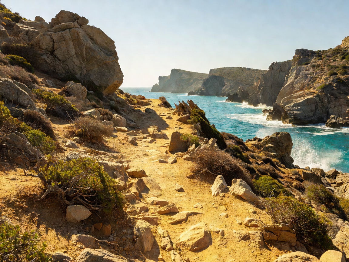
ROUTE CODE: GR-MN01
Outer Mani Tower Hamlets & Coastal Calderimi Perimeter
From Kardamyli to Cape Tainaron along centuries-old cobbled mule tracks (calderimia), fortified stone tower settlements, olive terraces, and secluded coastal coves.
Total Ascent+2,600m
Recommended Days6 — 8
Resupply IntervalMax 18 km