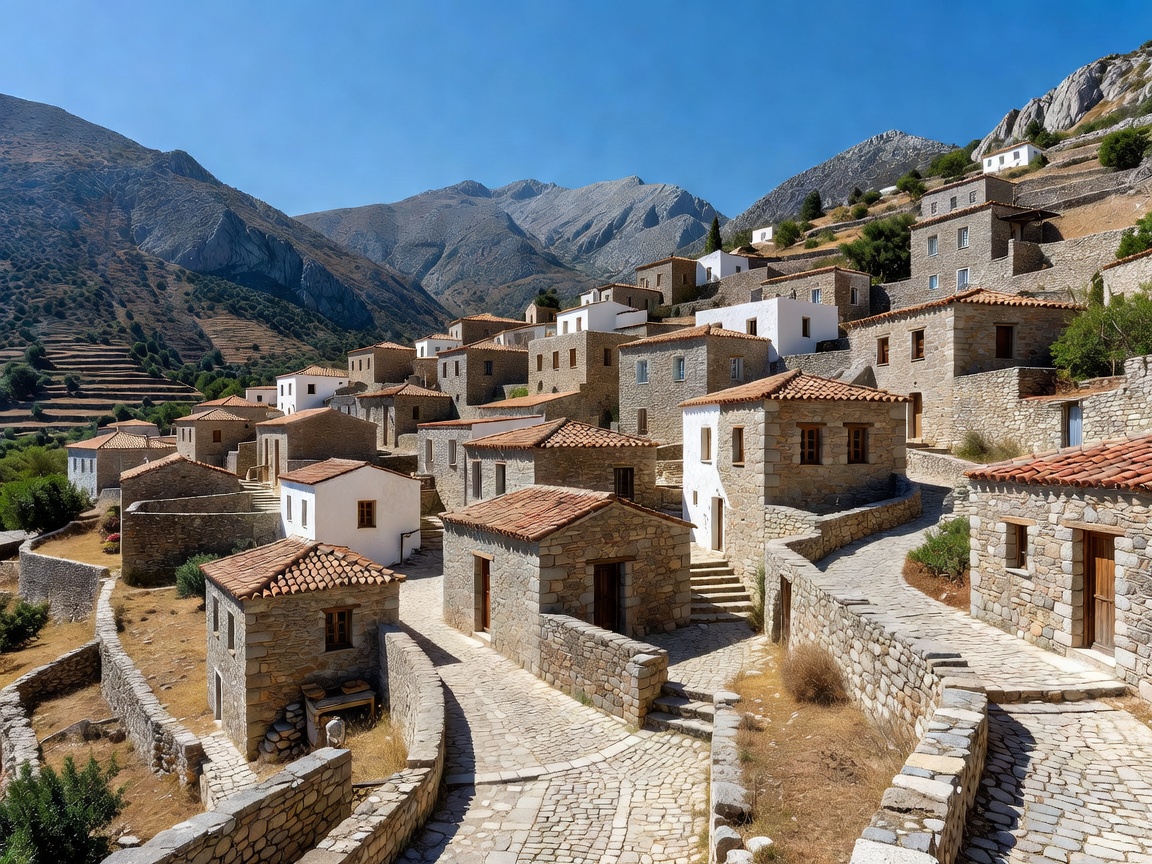
SECTOR: PELOPONNESE / MANI
Outer Mani Tower Hamlets & Coastal Calderimia
Dense ancient monastic pathways and dry-stone calderimia suspended between the Taygetos mountain ridge and the Mediterranean coast. Connects Kardamyli, Thalames, and defensive stone tower settlements.
Primary TrailMani Calderimi Network
Permit Req.None / Open
Elevation Span0m - 1,420m
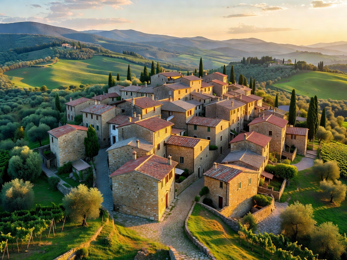
SECTOR: LUNIGIANA / APENNINES
Upper Lunigiana: Stone Stele Valleys & High Apennines
An isolated borderland between Tuscany, Liguria, and Emilia-Romagna. Traversed by the Pontremolese regional rail artery, medieval chestnut grove footpaths, and the ancient Via Francigena.
Primary TrailVia Francigena / Alta Via
Permit Req.None
Elevation Span230m - 1,840m
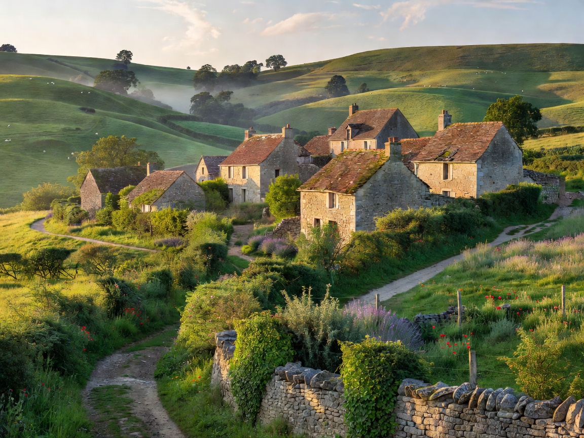
SECTOR: AVEYRON / OCCITANIE
Aveyron: Limestone Causses & Gorges du Tarn
Pastoral drover trails (drailles) spanning dramatic limestone plateaus, Templar bastide hamlets, and deep river gorges with exceptionally low ambient noise levels and high transit accessibility.
Primary TrailGR 62 / Drailles des Causses
Permit Req.None / Open Access
Elevation Span210m - 1,120m