1. Geographical Context & Transit Matrix
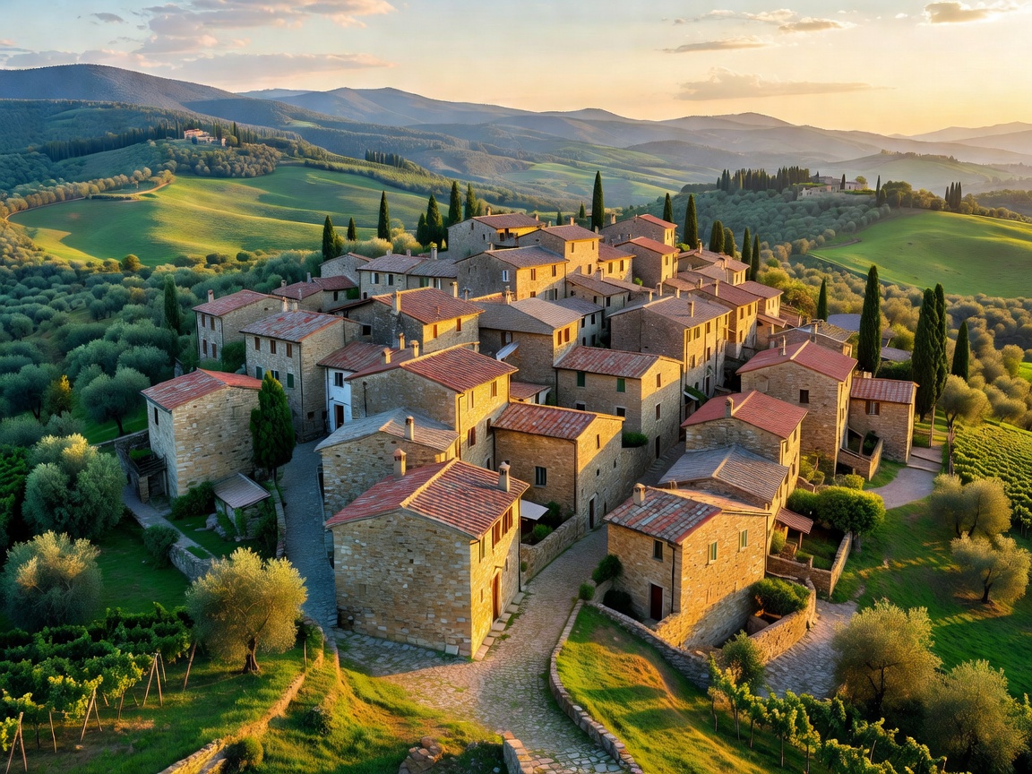
Lunigiana is the historic border territory wedged between Tuscany, Liguria, and Emilia-Romagna. Traversed by the Magra River and enclosed by the jagged Apuan Alps to the south and the Appennino Tosco-Emiliano National Park to the north, it remains entirely insulated from the mass coach tours that inundate Florence and Pisa.
Transit Ingress: Access via the Pontremolese railway line connecting Parma and La Spezia. Stations at Pontremoli, Filattiera, Villafranca in Lunigiana, and Aulla provide direct access to the trailhead network without needing personal automotive transport.
2. Recommended Stage Breakdown
- Stage 01-04 (Pontremoli Base): Establish residency in Pontremoli's historic borgo. Daily loops on the Via Francigena mountain trails through Succisa and the ancient chestnut groves of Valdantena.
- Stage 05-08 (Bagnone Valley): Hike south along the Alta Via dei Parchi feeder track toward Bagnone. Stay in stone dwellings within Castiglione del Terziere; inspect the 14th-century parchment library.
- Stage 09-14 (Equi Terme & Fivizzano): Transit via local diesel single-carriage train to Equi Terme. Walk the limestone karst canyon and thermal sulfur springs, concluding with the high meadows of Campocecina.
3. Culinary & Economic Integration
The micro-economy of Lunigiana is anchored by chestnut flour (Farina di Castagne della Lunigiana DOP), testaroli pasta cooked in cast-iron testo discs over beech embers, and local Testaroli al Pesto. Patronize the small alimentari in Pontremoli and Fivizzano where dry goods are supplied directly by family producers.