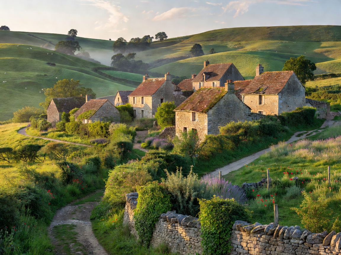
1. The Geologic Canvas
The department of Aveyron sits at the intersection of wild karst plateaus (the Causses) and deeply carved river valleys (Lot, Aveyron, and Tarn). It presents one of the lowest population densities in Western Europe, combined with exceptionally preserved 11th-century bastide towns and templar commanderies.
Transit Ingress: Regional TER connection from Toulouse-Matabiau to Rodez or Villefranche-de-Rouergue. Secondary lio buses connect outer settlements on reliable seasonal timetables.
2. Trail Infrastructure & Drailles
The region is crisscrossed by GR 62, GR 6, and historic drailles—broad pastoral corridors used for seasonal sheep transhumance since Neolithic times. The absence of commercial development along the Causse de Sévérac enables uninterrupted backcountry navigation.
- Water Security: Karst terrain is devoid of surface streams on high plateaus. Hikers must carry minimum 3.0 liters per person and map communal village fountains (fontaines communales).
- Acoustics: Background ambient decibel readings consistently measure under 30 dB during daytime hours outside of village centers.
3. Sourcing & Local Subsistence
Weekly outdoor markets in Najac, Espalion, and Saint-Antonin-Noble-Val provide direct access to artisanal sheep cheeses (Roquefort and Pérail), walnuts, sourdough buckwheat bread (fouace), and biodynamic wine from the terraced vineyards of Marcillac.